
Welcome to the NPOC

The National Point Of Contact supports Swiss customers in accessing, processing and using satellite data for any application. Tell us about your project or idea. We will do our best to help you!

Check out below some examples of use cases.

A cloudless mosaic of satellite images from 2019, showing Switzerland and part of the surrounding countries in natural colors

Highlighted use cases for satellite data

The image showcases the use of satellite images, in this case for the Antarctic expedition of T. Ulrich in 2023. The image is split into two parts. On the left, there is a hand holding a map with a snowy mountainous Antarctic terrain in the background, under a clear blue sky. The map is created from a Sentinel-2 satellite image and shows detailed topography. On the right, there is a close-up of T. Ulrich with a frosty beard and sunglasses, dressed in heavy winter clothing, with the sun shining brightly behind them

17 April 2024

Single scenes

Get the data you need now.

Orthophoto 2022 of part of Basel-Stadt from commercial Pléiades Neo satellite image, overlaid with swissTLM3D data for all visible roads and paths. Different colours are being used for different road types

15 April 2024

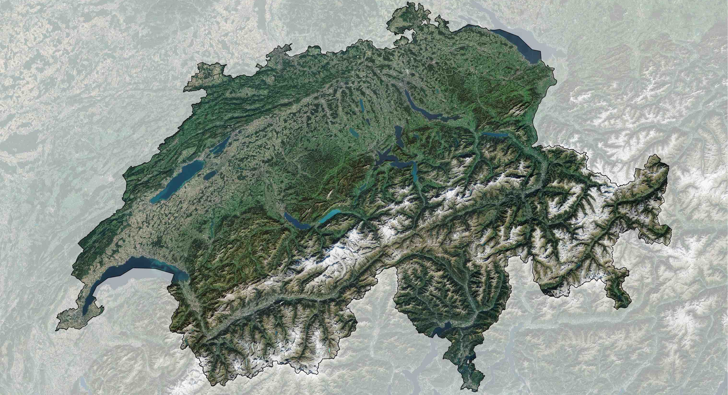
Photogrammetric measurement images

Use orthorectified satellite images for your projects.

Pine Island Glacier, Antarctica, as recorded by Sentinel-1

17 April 2024

Time series

Observe changes on Earth over different periods of time.