Teacher Training 2026 – Satellite Data in the Classroom
In April 2026, the scientific NPOC had the opportunity to once again conduct a workshop together with the startup askEarth, to introduce teachers to the use of satellite data in school education.
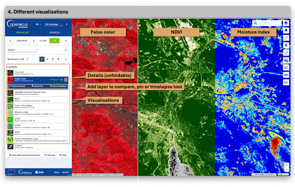
During an evening session, the fundamentals of satellite observation were first presented. Afterwards, participants were able to explore the Copernicus Browser, which provides simple and free access to satellite images from various Earth observation missions.
The tutorial booklet newly developed and made freely available by the NPOC served as a basis for exercises and as inspiration for future applications in the classroom. The tutorial covers a wide range of topics – from deforestation and landslides to glacier changes.
Subsequently, the online tool developed by askEarth was tested, which is currently still in the development phase. Using a “Geospatial Intelligence Agent”, the tool enables users to query the 800 geospatial data layers of Switzerland provided by swisstopo through simple text inputs (“prompts”) and to answer spatial questions. Examples of such questions include: “Which areas are suitable for the use of solar energy?” or “Which areas in the city of Zurich are at risk from natural hazards?”
The workshop demonstrated to teachers how they can provide their students with an engaging and practical learning experience on the topic of satellite data using simple and partly freely available resources.
Anyone interested in such a workshop or requiring support in implementing it in their own classroom can contact the scientific NPOC at any time.