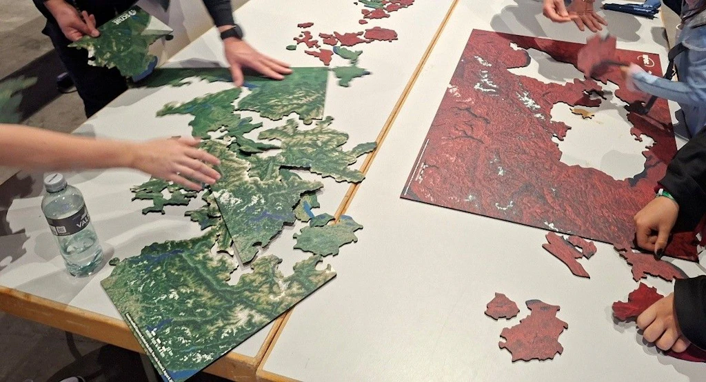
The NPOC Satellite Puzzle of Switzerland is back!
The popular satellite image puzzle of Switzerland is available again – revised and ready for use in classrooms and outreach activities!
The puzzle combines playful discovery with an introduction to the world of Earth observation. The four different versions, featuring Sentinel and Landsat satellite images of Switzerland, demonstrate the many ways the Earth's surface can be observed from space. The true-colour image represents the natural appearance of the Earth's surface, while the false-colour image highlights otherwise hidden features such as vegetation and water bodies. The radar image reveals surface structures independently of daylight and regardless of cloud cover, while the thermal image visualises temperature differences across the Earth's surface.
Whether in the classroom, at public events, or during workshops, the puzzle invites participants to explore and understand satellite data in an interactive way – and perhaps even find their own home from a satellite perspective.