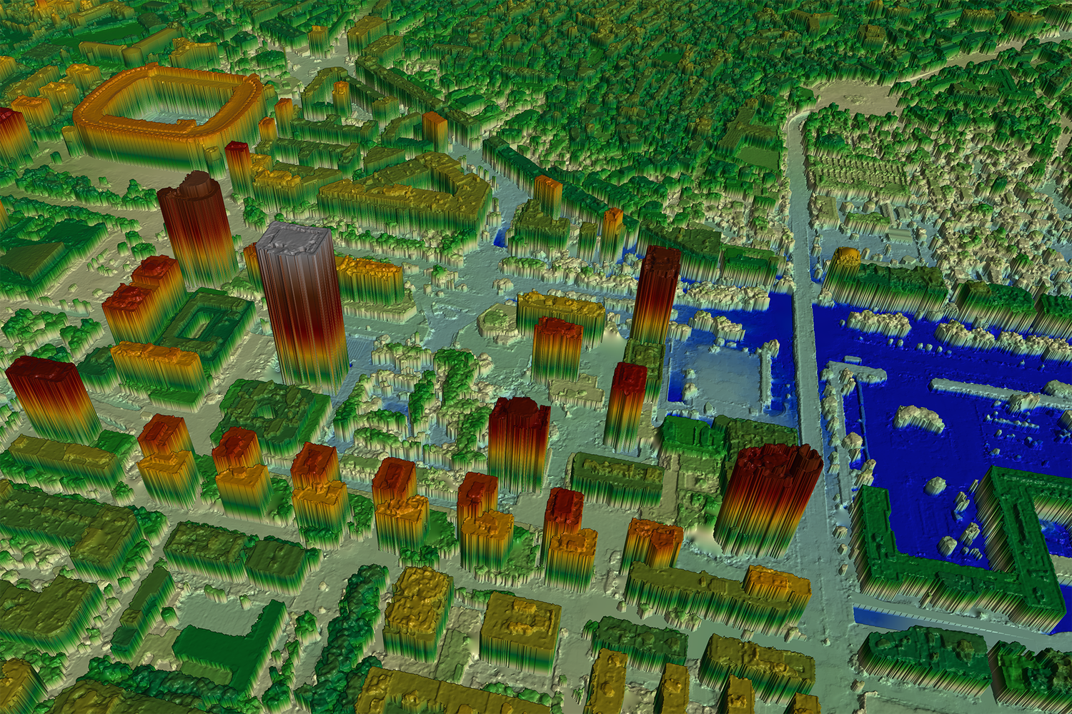
3D data
Use an extra dimension in the data analysis.
3D information is essential for capturing and visualising large-scale changes. It can be used, for example, to analyse mining activities, depict the effects of mass movements and plan the design of infrastructure projects.
The NPOC informs you about the availability of 3D data both globally and locally and assists you in deriving new elevation data from satellite images.